Adelaide Mount Lofty Ranges Bushfire Management Area Plan
The City of Burnside is east of the Adelaide CBD extending from Fullarton Road to the lower slopes of the Mt Lofty Ranges and from the Adelaide-Crafers Freeway in the south to the Old Norton Summit Road in the north.
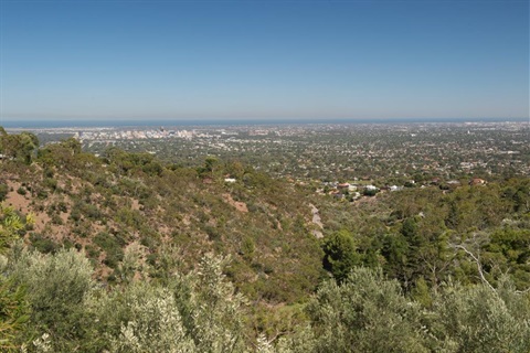
Most of the Council area is leafy suburbia with no direct bushfire risk. However, on the eastern extremes of the Council area is the City of Burnside Bushfire Area - subsequently referred to in the plan as the Burnside Bushfire Area. This area extends along the foothills of the southern Mt Lofty Ranges, one of the most fire prone areas in the world due to the Mediterranean climate and the characteristic hot summer months. Every year the Adelaide Hills experience a number of summer days with occasionally strong dry northerly winds and low humidity that create conditions for extreme bushfire risk.
While the threat of bushfires affects only part of the Council, the potential consequences are large. Some suburbs within the City of Burnside are likely to be directly impacted by bushfires and many suburbs have houses that are potentially exposed to bushfires. Therefore any available measures that can be taken to reduce the likelihood of loss or damage should be adopted and this Plan seeks to highlight these measures. The City of Burnside is obligated under legislation to develop a 'prevention plan' and this document may be cited as the "Adelaide Mount Lofty Ranges Bushfire Management Area Plan".
The Plan covers all aspects of bushfire prevention for the City of Burnside and is prepared both for Council and residents. In addition, it addresses issues of bushfire management and seeks to provide cost effective levels of community fire protection while maintaining a land management/environmental balance.